 "It all begins with the Map!"
GeoElections News
 Temple Terrace, FL www.icwmaps.com VOL. 22 NO. 1 -
  $.50
$.50 
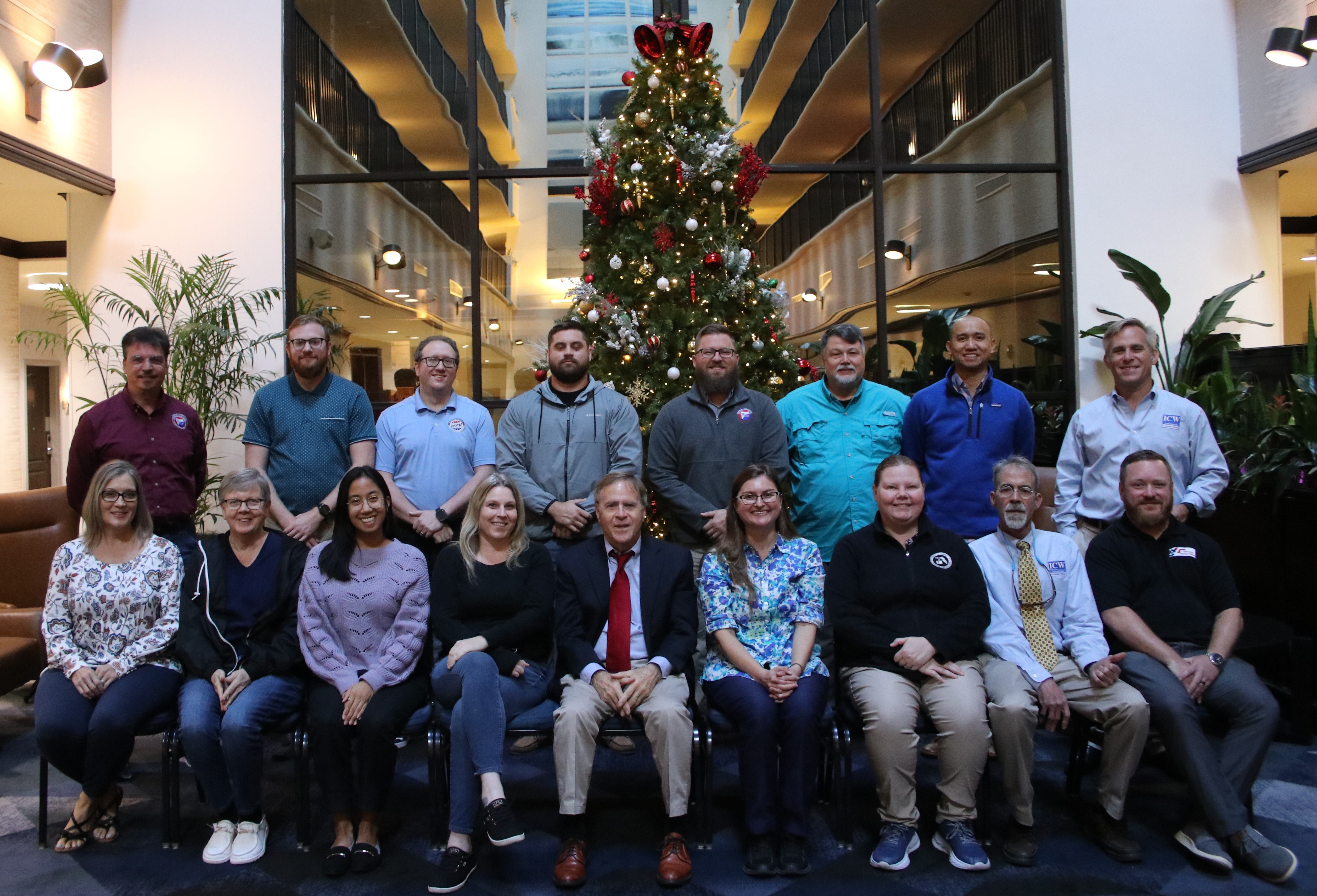
The 23rd Annual GeoElections User’s Conference – December 2024
Another outstanding GeoElections Conference was conducted for veterans and new users alike. Members from International Computer Works, Inc. (ICW) provided insights and views into GeoElections for both MapInfo and Arc GIS Professional. An early insight into the way Census is used
 |
Why Jefferson, Madison, and the Founders Enshrined the Census in our Constitution was purely magical. The U.S. Constitution empowers the Congress to carry out the census in "such manner as they shall by Law direct" (Article I, Section 2). The Founders of our fledgling nation had a bold and ambitious plan to empower the people over their new government. The plan was to count every person living in the newly created United States of America, and to use that count to determine representation in the Congress. Enshrining this invention in our Constitution marked a turning point in world history. Previously censuses had been used mainly to tax or confiscate |
property or to conscript youth into military service. The genius of the Founders was taking a tool of government and making it a tool of political empowerment for the governed over their government. They accomplished that goal in 1790, and our country has every 10 years since then. In 1954, Congress codified earlier census acts and all other statutes authorizing the decennial census as Title 13, U.S. Code. Code does not specify which subjects or questions are to be included in the decennial census. However, it does require the Census Bureau to notify Congress of general census subjects to be addressed 3 years before the decennial census and asked 2 years before the decennial census.
|
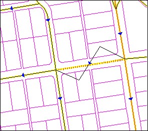
The Art of Conflation The art of conflation is a term borrowed from the study of literature. It is the process where combining two variant texts into a new one. GIS technology is more modern than other disciplines. Thus, borrowed names determine other disciplines. It has been said the silver tuner for mapping is “conflation”. To this end, the people at ICW have spent a great amount of time and energy developing specific tools to assist with the next decade’s base map. Tools such as Change Name, MultiUpdate, Change Attribute, and Trace along with numerous other features are wrapped up in your software. Following is a portion of the full dialog box from the Change Name. This feature is an example of updating one or all of the name(s) in the database. The Global Change and Proper Override features allow one to refine feature options. While not illustrated, similar to the Change Name, the MultiUpdate function allows the user to Change Names, ZIP Codes, MTFCC and Revert Graphics. Below is an example of the Change Attributes dialog box. One can update a segment at a time. Both update Address ranges, ZIP Codes and the MTFCC values change also be updated. Below is an example of the Trace function.
|
23rd Annual GeoElections Conference
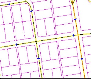
Once the segment has been added, the map will appear as Illustration 2. When you are presented with maps from the US Census Bureau to work with, you will use the tools in GeoAuthor to convert the Census data to match your current map. Each line within the new data should match the geometry of your existing line work. New boundaries will be provided that replace the districts you have been using to make up municipal annexation, special taxing districts and other boundaries. With the P.L.94-171 a key boundary will remain as submitted to the Census redistricting program. This district will be your voting district boundaries and wards. The Census worked with the states to ensure they have the data summaries tabulated to the necessary geography to facilitate their legislative redistricting. This feature is important to place your voters. Blocks are areas defined by streets, roads, streams, railroad tracks, and by nonvisible boundaries, such as selected property lines and city,
township, school district, and county limits and short line-of-sight extensions of streets and roads. At the extreme, blocks can encompass hundreds of square miles. In all instances, blocks will designate all areas for federal, numerous state and county regions. The functionality contained in GeoAuthor will save many hours of editing with alternative software. The art of conflation imbedded with your ICW software will work to solve your problems. |